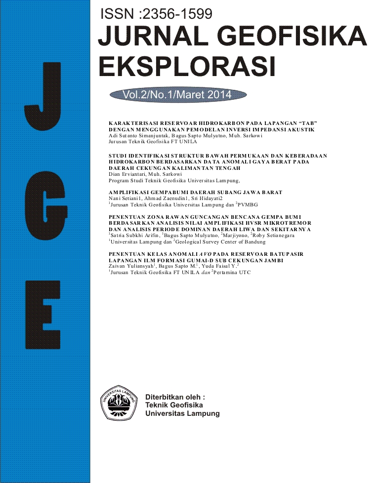
PENENTUAN ZONA RAWAN GUNCANGAN BENCANA GEMPA BUMI BERDASARKAN ANALISIS NILAI AMPLIFIKASI HVSR MIKROTREMOR DAN ANALISIS PERIODE DOMINAN DAERAH LIWA DAN SEKITARNYA
DOI:
https://doi.org/10.23960/jge.v2i01.217Abstract Views: 1447 File Views: 1446
Abstract
Microtremor is a natural harmonic ground vibration that occurs continuously with low amplitude about 0.1 to 1 micron by subsurface movements. Microtremor characteristics reflect the characteristics and types of rocks based on the value of the dominant period and useful for analyzing of rocks response in strengthening (amplification ) waves vibration based on the impedance difference between basement and sedimentary rocks above it.
Based on seismicity historical, Liwa had been hit greatly by an earthquake twice on June 24th, 1933 with magnitude 7.3 skalarichter and 7.0 skalarichter on February 15th, 1994, and the degree of damage and the number of victims increases . It underlies the research of microtremor in Liwa on April 15, 2013 to May 4, 2013 that limits in providing information that used for the planology development to decrease the earthquake impact.
The Data result of mickrotremor research were the value of the horizontal to vertical spectral ratio (H/V), the dominant frequency and dominant period. From the analyzing that had been done, it determined that the research area was in area within the value of amplification factor (amplification) was more than 5 and the value of the dominant period was more than 0.5 seconds. Lithology of research area was on alluvial rocks. The interaction of faults made it deformated well and cause the research area was very vulnerable when hit by earthquakes.
Keywords: Microtremor, microzonation, amplificationReferences
Aswandi, L., 2005. Mikrozonasi Kota Kendari dan Sekitarnya Menggunakan Analisis Mikrotremor. Skripsi Universitas Hasanudin. Makassar.
BPS. 2012. Kabupaten Lampung Barat. Badan Pusat Statistik. Lampung.
BMKG. 1998. Sumberdaya Geologi. Buletin Meteorologi dan Geofisika No. 4. BMKG. Jakarta.
Febriana. 2007. Eksplorasi Seismik. Unpad. Bandung.
Finn. 1994. Effect of Foundation Soils on Seismic Damage Potential. Madrid. Spain.
Gunawan dan Subardjo. 2005. Seismologi. BMKG. Jakarta.
Hambling, W.K., 1986. The Earth’s Dynamic Systems : a text book in physical geology third edition. Minnesota : Burgest Publishing Company.
Kanai, K., 1983. Seismology in Engineering. Tokyo University. Japan.
Kertapati, E., Putranto, E. K., 1991. Gempabumi Merusak Indonesia. Katalog Pusat Survei Geologi. Bandung.
Konno, K., Omachi, T., 1998. Ground Motion Characteristics Estimated from Spectral Ratio between Horizontal and Vertical Components of Microtremor.” Bull. Seism. Soc. Am., Vol.88, No.1, 228-241.
Lachet, C., dan Brad, P.Y., 1994. Numerical and Theoretical Investigations on The Possibilities and Limitations of Nakamura’s Technique. J. Phys. Earth, 42, 377-397.
Lang, D. H., 2004. Damage Potential of Seismic Ground Motion Considering Local Site Effects. Doctoral Disertation. University of Weimar : Weimar.
Marjiyono, Soehaimi, dan Kamawan. 2007. Identifikasi Sesar Aktif Daerah Cekungan Bandung Berdasarkan Citra dan Kegempaan. Jurnal Sumberdaya Geologi. Bandung.
Marjiyono. 2010. Estimasi Karakteristik Dinamika Tanah Dari Data Mikrotremor Wilayah Bandung. Thesis ITB. Bandung.
Nakamura, Y., 1989. A Method For Dynamic Characteristics Estimation of Subsurface. Quarterly Reports Of The Railway Technical Research Institute. Tokyo, 30, 25-33.
Nakamura, Y., 2000. Clear Indentification of Fundamental Idea of Nakamura’s Technique and Its Application. Tokyo University. Japan.
Parwatiningtyas, D., 2008. “Perbandingan Karakteristik Lapisan Bawah Permukaan Berdasarkan Analisis Gelombang Mikrotremor Dan Data Bor”.Jurnal Ilmiah Universitas Indraprasta PGRI.
Prager, E. J., 2006. Furious Earth : The Science and Nature of Earthquakes, Volcanoes and Tsunamis. Bandung : Penerbit Buku Pakar Raya.
Ramdani, R. N., 2011. Pemetaan Mikrozonasi Gempabumi Di Daerah Jepara Jawa Tengah Dengan Metoda HVSR. Universitas Pendidikan Indonesia. Bandung.
Sheriff, R. E., dan Geldart, L. P., 1995. Exploration Seismology 2nd Edition. Cambridge University Press : New York. USA.
Wiradisastra. 2002. Geomorfologi dan Analisis Landskap. Institut Pertanian Bogor. Bogor.
Downloads
Published
Issue
Section
License
Penulis yang mempublikasikan jurnal ini setuju dengan ketentuan sebagai berikut:
- Penulis mempertahankan hak cipta dan memberikan jurnal hak publikasi pertama dengan pekerjaan secara bersamaan berlisensi di bawah Creative Commons Attribution yang memungkinkan orang lain untuk berbagi pekerjaan dengan pengakuan kepengarangan karya dan publikasi awal di jurnal ini.
- Penulis mampu untuk masuk ke dalam terpisah, pengaturan kontrak tambahan untuk distribusi non-eksklusif versi diterbitkan jurnal pekerjaan (misalnya, posting ke sebuah repositori institusi atau menerbitkannya dalam sebuah buku), dengan pengakuan publikasi awal dalam jurnal ini.
- Penulis diizinkan dan didorong untuk mengirim karya mereka secara online (misalnya, dalam repositori institusi atau website mereka) sebelum dan selama proses pengiriman, karena dapat menyebabkan pertukaran produktif, serta sebelumnya dan kutipan yang lebih besar dari karya yang diterbitkan (Lihat Pengaruh Open Access).

